
INTELLIGENCE
From raw data to real insight
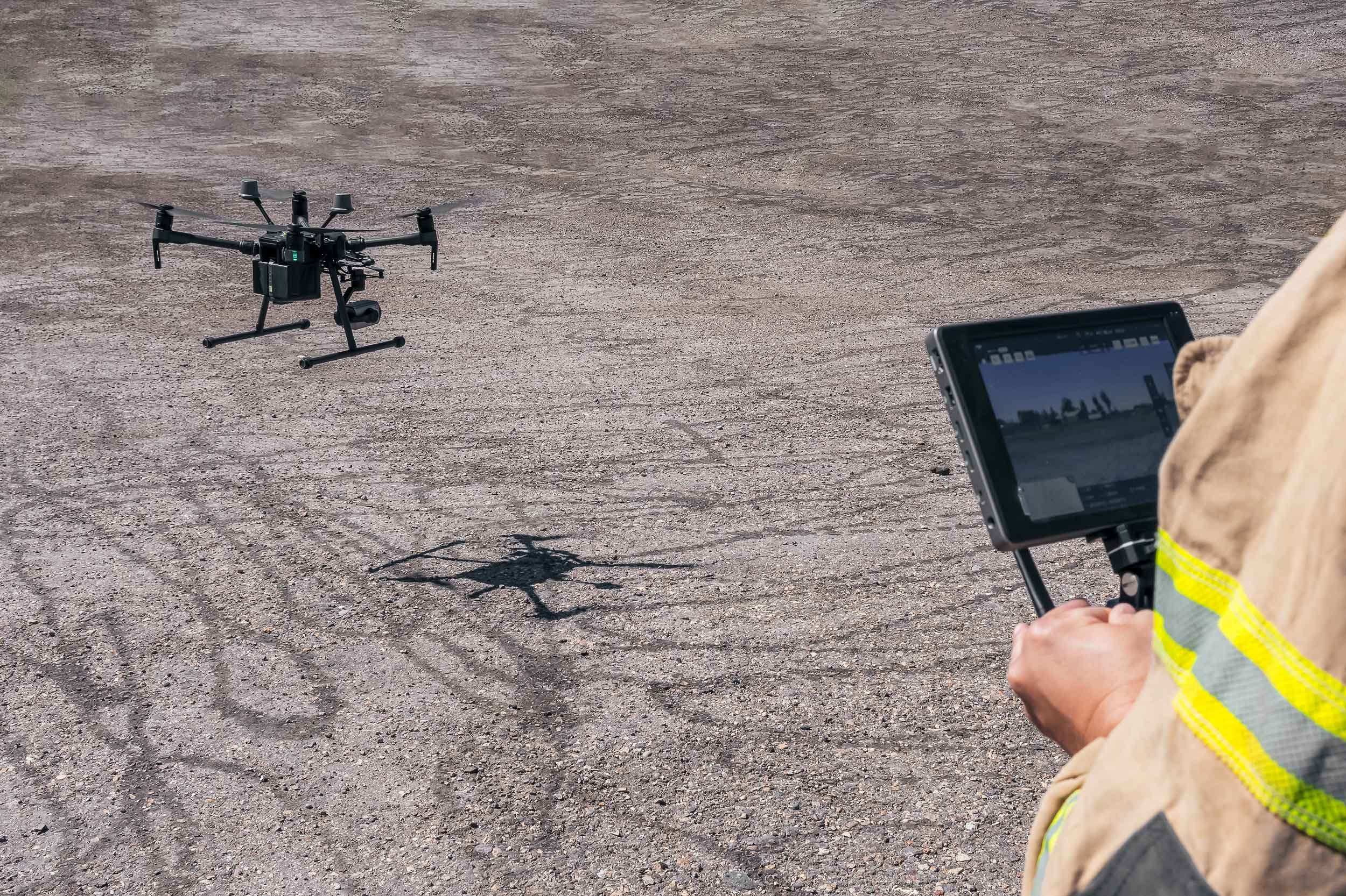
Custom GIS Workflows
Tailored processes to turn data into decisions.
We understand that every project has unique requirements. Our custom GIS workflows are designed to ensure that the raw data we collect is processed to meet your specific needs.
Our Approach
Data Integration
We combine multiple datasets (e.g., LiDAR, multispectral, thermal) into one cohesive system for in-depth analysis.

Advanced Processing
We conduct detailed analysis using industry-leading GIS software and tools, from mapping to predictive modeling.

Custom Reporting
We generate tailored reports highlighting key insights, enabling quick, informed decision-making for your project.

Our customized workflows ensure that every dataset is aligned with your project goals, delivering clarity and insight at every stage.
Spatial Analysis Techniques
Uncovering patterns and insights from complex data.
We apply advanced spatial analysis techniques to process and interpret data collected from our aerial surveys. These methods allow us to identify patterns, monitor changes over time, and extract critical features from the environment, enabling our clients to make data-driven decisions confidently.
Key Techniques We Use:
Vegetation indices
NDVI (Normalized Difference Vegetation Index) analyzes plant health by comparing the absorption of visible and near-infrared light.
NDRE (Normalized Difference Red Edge Index): Specifically designed to detect vegetation stress in areas with dense canopies.
elevation models
Digital Elevation Models (DEMs): 3D representations of terrain surfaces that help with watershed management, flood risk assessment, and site suitability analysis.
Terrain analysis enables effective decision-making for land-use planning, conservation, and construction projects.
Feature Extraction
Using LiDAR, multispectral, and thermal data, we can extract specific landscape features such as water bodies, vegetation types, infrastructure, and archaeological sites. This process enhances our ability to map and understand complex environments with precision.
Our spatial analysis techniques help reveal valuable information that might otherwise go unnoticed, supporting everything from agricultural monitoring to environmental conservation.
Interpreting Data Patterns
Turning data into visual understanding.
Using advanced analysis tools, we can extract meaningful insights from thermal, multispectral, and LiDAR datasets, each providing a unique landscape view.
How We Interpret Data:
Thermal Data:
Thermal imagery helps identify temperature variations, such as heat stress in crops, energy inefficiencies in buildings, or areas of environmental concern. By comparing thermal patterns over time, we can detect environmental or infrastructure changes.
Multispectral Data:
Multispectral imagery provides insights into vegetation health, soil properties, and water availability. We can assess plant stress, drought conditions, or nutrient deficiencies by analyzing various light spectra. This is crucial for precision agriculture, land management, and conservation efforts.
LiDAR Data:
LiDAR datasets offer detailed 3D point clouds, allowing us to map terrain and features accurately. By analyzing elevation changes, we can identify geological formations, archaeological features, or changes in vegetation that may not be visible from the ground.
Our ability to interpret these datasets reveals hidden patterns that drive critical decisions, whether you're managing crops, preserving heritage sites, or planning infrastructure projects.
